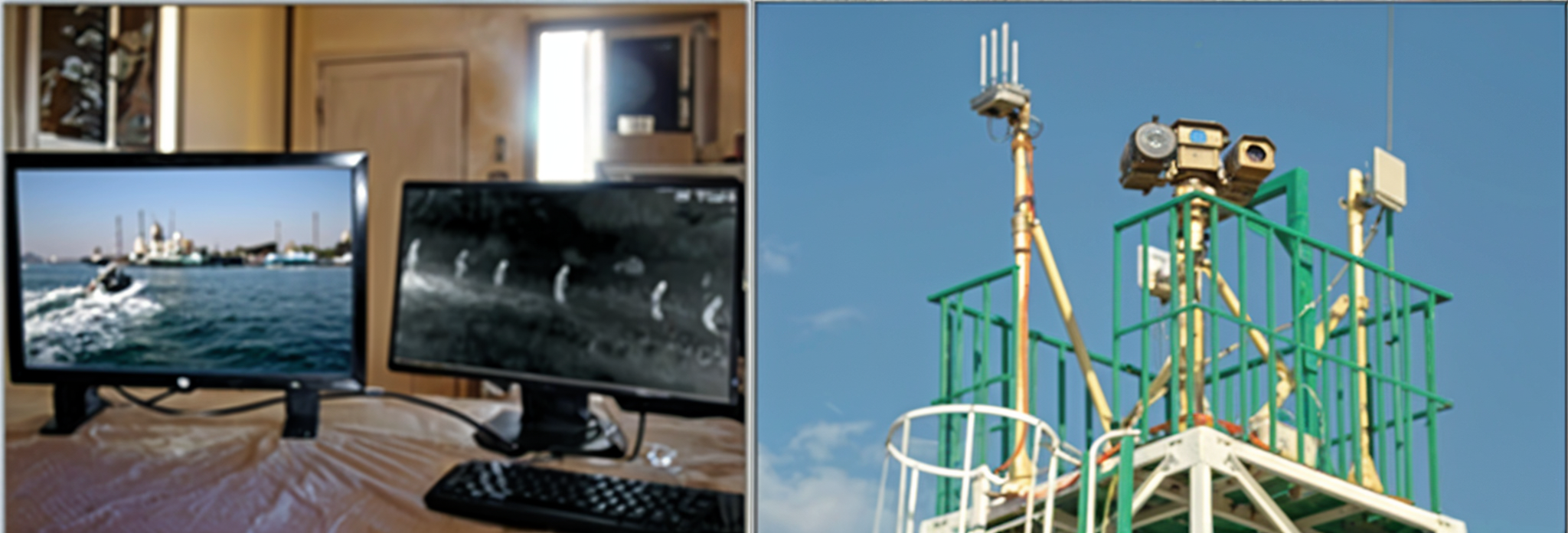
SYSTEM MONITORING AND ELECTRONIC ORIENTATION FOR COASTS AND BORDERS GUARDING (D42)
- The surveillance and electronic guidance system is designed and implemented to secure the borders and coasts and is reliable for use according to the latest regulations of (Electro-Optical) for static site and mounted patrols. It is used for surveillance in the private insurance sector or periodic surveillance area.
- Images captured by cameras of the control system are transferred to the command and control center headquarters, the regiment, and the army through a network of wireless connections.
- Electro-optical system devices are controlled by a control program designed specifically to meet the user’s requirements and the employment possibilities of the devices to achieve maximum benefit from them. Instantly, live recording on digital recording devices in all locations is carried out.
The Surveillance System for Fixed Sites consists of:
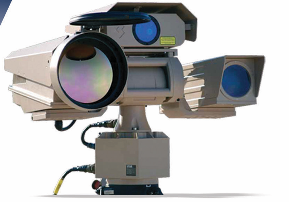
🔵 Electro - optical system: for fixed sites (mounted on tower)
Consists of (Thermal Camera - Day Camera - Laser Range Finder - Pan and Tilt)
Thermal Camera Detector
|
Specification |
Details |
|
Detector |
480 x 640 pixels |
|
Spectral range |
3 - 5μm |
|
Field of view |
0.75° (H) x 0.56° (V) |
|
Thermal Sensitivity |
25mk |
|
Electronic zoom |
x2, x4 |
Colored Day Camera
|
Specification |
Details |
|
Focal length |
12.5mm : 750mm |
|
F# |
3.8 : 7.1 |
|
Field of view (H) |
0.48° - 28.7° |
|
Optical zoom |
x60 |
|
Digital zoom |
x10 |
|
Focus |
AF / Manual |
Laser Range Finder
|
Specification |
Details |
|
Range |
Eye Safe / 80m - 20Km |
Pan and Tilt
|
Specification |
Details |
|
Azimuth Range |
360° continuous |
|
Azimuth Velocity |
0.03° - 65°/sec |
|
Elevation Range |
- / +35° |
|
Elevation Velocity |
0.03° - 30°/sec |
|
Accuracy |
1 mrad |